Birmingham-Shuttlesworth International Airport (BHM)
Orientation and Maps
(Birmingham, Alabama (AL), USA)
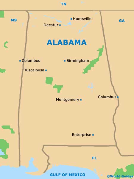
The biggest and most lively city in the state of Alabama, Birmingham was once a small farming town and grew considerably in the 19th century, following its successful coal and iron industry. Today, the city of Birmingham is now the premier industrial area in this part of the United States and has become a popular destination for visitors.
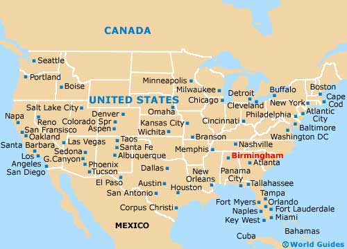
Those who choose to fly into this area will arrive at the Birmingham-Shuttlesworth International Airport (BHM), on the northeastern side of the city. The airport lies next to the I-59 interstate and Meadwood Heights. Greyhound buses are based on the northern side of the downtown district, along 19th Street North, and not only serve the city, but also neighboring cities, such as Atlanta, which can be reached by bus in around three hours. Also close to Birmingham, Huntsville and Montgomery are both just a two-hour bus trip.
Birmingham-Shuttlesworth International Airport (BHM) Maps: Important City Districts
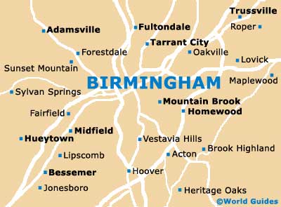
The main sightseeing opportunities in central Birmingham can be found within the Fourth Avenue Historic district. The area around Five Points South is especially trendy and full of life, with the city's main north-south artery stretching to the Southside area. This region is known for its superb examples of Art Deco architecture, top dining venues and nightlife.
Nearby you will find the highly regarded 'University of Alabama at Birmingham', next to the I-65 interstate and north of George Ward Park. Those looking for tourist information should head to the main visitors center along 9th Avenue North, which contains the popular 'Downtown Historic Walking Tour' booklet.
USA Map
Alabama Map
Birmingham Map